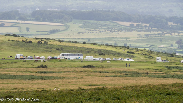
Leaving the car park in Postbridge this is the familiar path leading out to the moor.
The iconic gate that leads out onto the open moor.
My route was to follow the track which leads through Braddon Lake and up to Broad Down. This is looking back across at Hartland Tor.
Once on the Broad Down I followed the wall with the intention of going to Lower White Tor. In the distance you can see Higher White Tor on the left and then just to the right of it Lower White Tor.
Going over Row Tor I got a view of Rough Tor on the skyline. This is a much zoomed in and the tor from a distance always reminds me of a submarine.
First I went around the top of Hollowcombe Bottom and then on to....
... Lower White Tor with Higher White Tor in the distance.
Rough Tor is just visible on the skyline but first down into the valley to cross the West Dart River below the boggy area before going up on the other side.
On the way up....
...and Rough Tor comes into view.
This is looking from Rough Tor towards the three rocky outcrops which make up Beardown Tor. Just left of the range marker posts and a little closer is Crow Tor.
I stopped here for my first sandwich break.
It's not far from Rough Tor to Devils Tor but the going is difficult with lots and lots of really boggy areas which you just have to avoid. Always much worse in winter when there is much more water.
This is looking south towards Wistman's Wood with Longaford Tor dominant on the left.
Soon I was at Devils Tor and near to this is the standing stone known as Beardown Man.
This is looking down the valley from the same position with the woods at Holming Beam in the distance.
My original plan had been to follow the track south to Connies Down Tor and then follow the Lych Way to the ford on the River Walkham. Instead I decided to take a direct route over Connies Down to the ford. This was a big mistake. The going was some of the worst I have encountered on Dartmoor. Long grass and with large 'hummocky' areas. Going was slow and difficult.

Eventually I came down to the disused Prison leat and not far from this was the....
...ford across the River Walkham.
From here I went over Cocks Hill and Great Mis Tor came into view on the left with Staple Tor, Roos Tor and Cox Tor in the distance.
On to the Stone circle.
Roos Tor on the right and Staple Tor on the left.
I stopped on Roos Tor out of the wind for my second sandwich break.
Down to the dewpond with the ponies.
The 'honeypot' of Pork Hill car park came into view - always busy at this time of year. I stopped for an ice cream and then on towards...
...Pew Tor, one of my favourite tors but I wasn't going there today.
Around Prowtytown Rocks...
...and over Plaster Down.
Soon Horrabridge came into view.
The total distance was15 miles and I completed this in 6.5 hours.


No comments:
Post a Comment